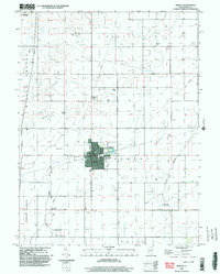
1998 Map of Bement
USGS Topo · Published 2003About this map
Bement serves as the central hub of this agricultural landscape in Piatt County, where the geometric precision of the Public Land Survey System defines the region's character. The village is well-established with civic features including Wilson Park, the local High Sch, and the Bement Cem on its northern edge. Conservation efforts are evident through the Bement Co For Presv and the expansive Allerton State Park occupying the northwestern corner, providing a contrast to the surrounding productive farmland.
Find a feature on this map
21 named features on this map. Tap any name to fly to it.
Don’t see what you’re looking for? This feature index may not catch every label — zoom into the map to look around manually.
Map Details
Editions of this 1998 Bement Map
This is the sole edition of this map. No revisions or reprints were ever made.
Other maps of this area
1907 · Mahomet
USGS Topo · 1:62,500
1937 · Monticello
USGS Topo · 1:48,000
1943 · Monticello
USGS Topo · 1:62,500
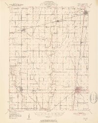
1950 · Tuscola
USGS Topo · 1:62,500
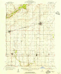
1955 · Bement
USGS Topo · 1:62,500
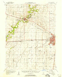
1957 · Mahomet
USGS Topo · 1:62,500

1958 · Peoria
USGS Topo · 1:250,000

1958 · Decatur
USGS Topo · 1:250,000

1961 · Peoria
USGS Topo · 1:250,000

1961 · Decatur
USGS Topo · 1:250,000