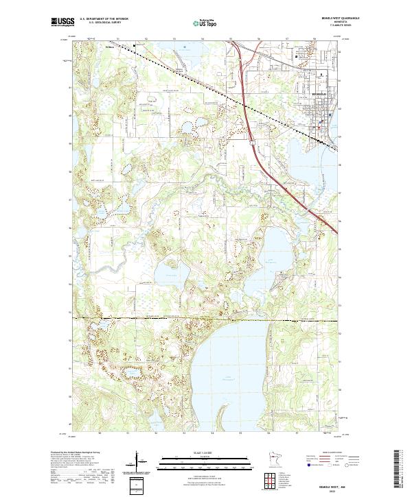
2022 Map of Bemidji West
USGS Topo · Published 2022About this map
The upper reaches of the Mississippi River flow through this glacial landscape, connecting a dense network of lakes and waterways just west of the regional hub. The Mississippi River winds through the center of the sheet, joined by the Schoolcraft River as it passes between Lake Marquette and Lake Irving. In the northwestern corner, the small settlement of Wilton is documented near Wilton Cem and Grass Lake.
Find a feature on this map
99 named features on this map. Tap any name to fly to it.
Don’t see what you’re looking for? This feature index may not catch every label — zoom into the map to look around manually.
Map Details
Editions of this 2022 Bemidji West Map
This is the sole edition of this map. No revisions or reprints were ever made.
Other maps of this area

1919 · Solway
USGS Topo · 1:62,500

1920 · Buena Vista
USGS Topo · 1:62,500

1943 · Solway
USGS Topo · 1:62,500

1954 · Bemidji
USGS Topo · 1:250,000

1957 · Bemidji
USGS Topo · 1:250,000

1958 · Bemidji
USGS Topo · 1:250,000

1968 · Guthrie
USGS Topo · 1:24,000

1968 · Bemidji East
USGS Topo · 1:24,000

1968 · Frontenac Lake
USGS Topo · 1:24,000

1968 · Bemidji West
USGS Topo · 1:24,000
Featured Places
- Bemidji, MN
- Wilton, MN
- Birchlane & Country Lane Mhc, MN
- Skyline Village Mobile Home Park, Bemidji
- Westwood Acres, Bemidji