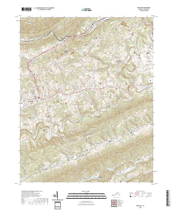
2022 Map of Ben Hur
USGS Topo · Published 2022About this map
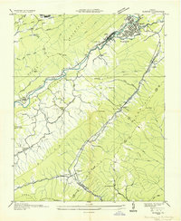
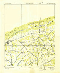
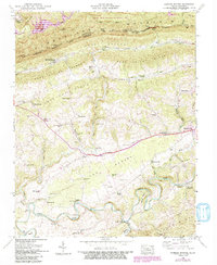
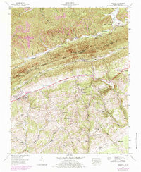
Jonesville serves as the focal point of this southwestern Virginia survey, anchored by the Lee County Courthouse. The landscape is defined by the rhythmic ridges and valleys of the Appalachians, with Stone Mountain and Wallens Ridge framing the fertile corridors where small communities like Ben Hur and Sulphur Springs took root. The mapping reveals a rural economy historically tied to water power and spring sites, evidenced by Collier Mill on Shafer Cr and Kincer Mill further south near Wallens Cr.
Find a feature on this map
169 named features on this map. Tap any name to fly to it.
Don’t see what you’re looking for? This feature index may not catch every label — zoom into the map to look around manually.
Map Details
Editions of this 2022 Ben Hur Map
This is the sole edition of this map. No revisions or reprints were ever made.
Historical Maps of Pennington Gap Through Time
19 maps found
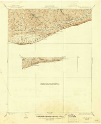
1932 Hagan
Lee County, VA
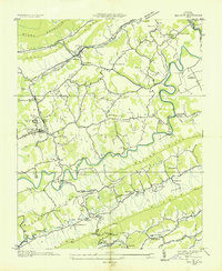
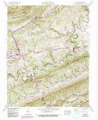
1935 Ben Hur
Lee County, VA
1935 Hubbard Springs
Lee County, VA
1935 Olinger
Lee County, VA
1935 Rose Hill
Lee County, VA
1946 Hubbard Springs
Lee County, VA
1946 Rose Hill
Lee County, VA
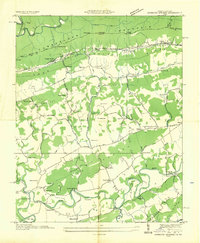
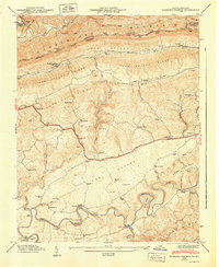
1947 Ben Hur
Lee County, VA
1947 Hubbard Springs
Lee County, VA
1948 Rose Hill
Lee County, VA
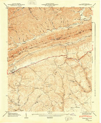
1949 Ben Hur
Lee County, VA
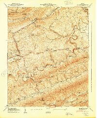
1976 Ben Hur
Lee County, VA
1976 Hubbard Springs
Lee County, VA
1976 Rose Hill
Lee County, VA
1976 Wheeler
Lee County, VA
2022 Ben Hur
Lee County, VA
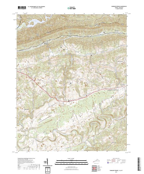
2022 Hubbard Springs
Lee County, VA
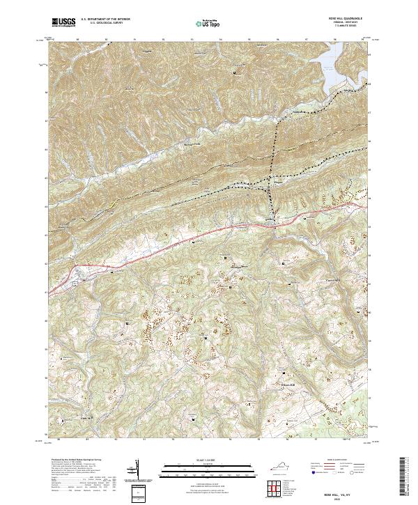
2022 Rose Hill
Lee County, VA
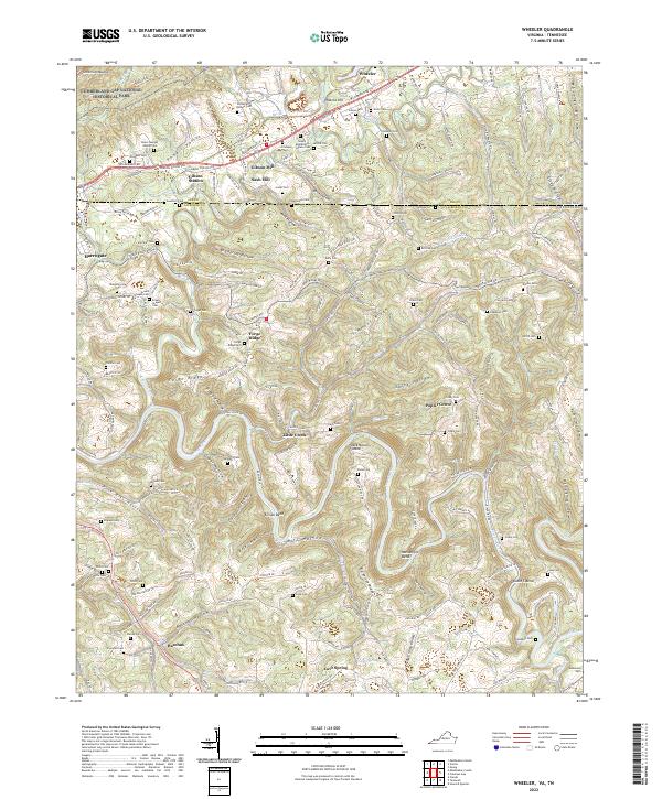
2022 Wheeler
Lee County, VA