
1929 Map of Big Stone Gap
USGS Topo · Published 1929About this map
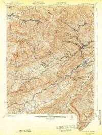
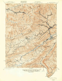
Cluttis Post Office and Johnsons Mill Post Office serve as central nodes for the coal-mining and timber communities straddling the Kentucky and Virginia border in the late 1920s. This survey, directed by Thomas L. Watson and Willard Rouse Jillson, captures the industrial infrastructure of the Central Appalachian coalfields. A complex network of railroads, including the L & N RR, Interstate RR, and the Southern Railway, threads through the deep gaps of Black Mountain and Stone Mountain to reach mountain settlements like Appalachia, Keokee, and Lynch.
Find a feature on this map
72 named features on this map. Tap any name to fly to it.
Don’t see what you’re looking for? This feature index may not catch every label — zoom into the map to look around manually.
Map Details
Editions of this 1929 Big Stone Gap Map
3 editions found
Other maps of this area

1887 · Jonesville
USGS Topo · 1:125,000

1890 · Whitesburg
USGS Topo · 1:125,000

1891 · Hazard
USGS Topo · 1:125,000

1891 · Jonesville
USGS Topo · 1:125,000

1892 · Whitesburg
USGS Topo · 1:125,000

1894 · Estillville
USGS Topo · 1:125,000

1912 · Pound
USGS Topo · 1:48,000

1913 · Oven Fork
USGS Topo · 1:48,000

1914 · Pound
USGS Topo · 1:62,500

1915 · Whitesburg
USGS Topo · 1:62,500