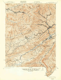
1922 Map of Big Stone Gap
USGS Topo · Published 1922About this map
Black Mountain and Little Black Mountain dominate the skyline of this 1920s coal country survey, where the border between Kentucky and Virginia follows the high ridges. Deep in the hollows and along the Powell River, a network of company towns and rail stops like Appalachia, Stonega, and Keokee define the industrial landscape. The map captures the region's transition, showing the density of these mining settlements alongside established rural features like Johnsons Mill PO and Sallann PO.
Find a feature on this map
81 named features on this map. Tap any name to fly to it.
Don’t see what you’re looking for? This feature index may not catch every label — zoom into the map to look around manually.
Map Details
Editions of this 1922 Big Stone Gap Map
This is the sole edition of this map. No revisions or reprints were ever made.
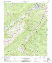
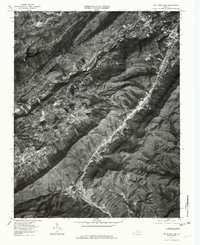
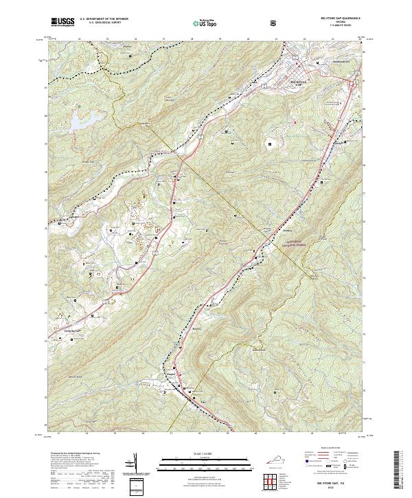
Historical Maps of Big Stone Gap Through Time
6 maps found