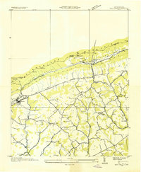
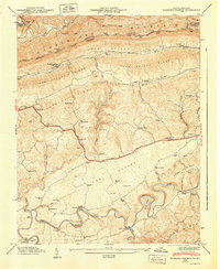
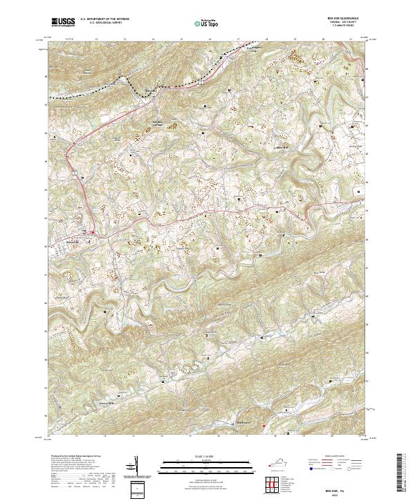
1935 Map of Ben Hur
USGS Topo · Published 1935About this map
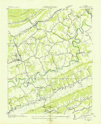
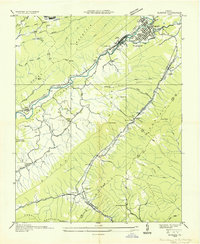
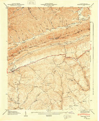
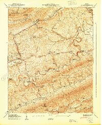
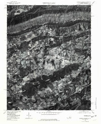
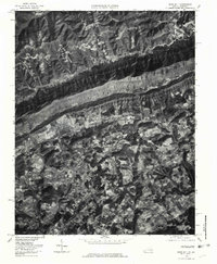
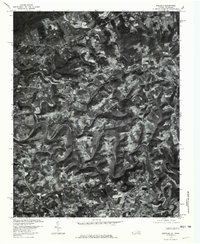
Ben Hur and Jonesville anchor this 1935 landscape in Lee County, where the Powell River carves a winding path through the ridges of Southwest Virginia. The map reveals a rural economy dependent on river crossings and mountain gaps, evidenced by Poteet Ferry Bridge and the nearby Poteet Ford. The Louisville and Nashville RR cuts through the northern section, following the base of Stone Mountain and Poor Valley Ridge, while the southern reaches are dominated by the parallel heights of Wallen Ridge and Wallen Mountain.
Find a feature on this map
55 named features on this map. Tap any name to fly to it.
Don’t see what you’re looking for? This feature index may not catch every label — zoom into the map to look around manually.
Map Details
Editions of this 1935 Ben Hur Map
This is the sole edition of this map. No revisions or reprints were ever made.
Historical Maps of Pennington Gap Through Time
19 maps found
1932 Hagan
Lee County, VA
1935 Ben Hur
Lee County, VA
1935 Hubbard Springs
Lee County, VA
1935 Olinger
Lee County, VA
1935 Rose Hill
Lee County, VA
1946 Hubbard Springs
Lee County, VA
1946 Rose Hill
Lee County, VA
1947 Ben Hur
Lee County, VA
1947 Hubbard Springs
Lee County, VA
1948 Rose Hill
Lee County, VA
1949 Ben Hur
Lee County, VA
1976 Ben Hur
Lee County, VA
1976 Hubbard Springs
Lee County, VA
1976 Rose Hill
Lee County, VA
1976 Wheeler
Lee County, VA
2022 Ben Hur
Lee County, VA
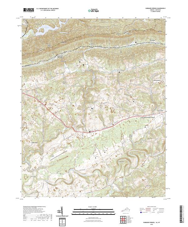
2022 Hubbard Springs
Lee County, VA
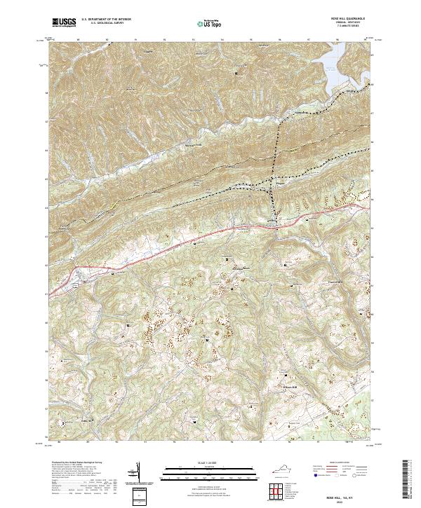
2022 Rose Hill
Lee County, VA
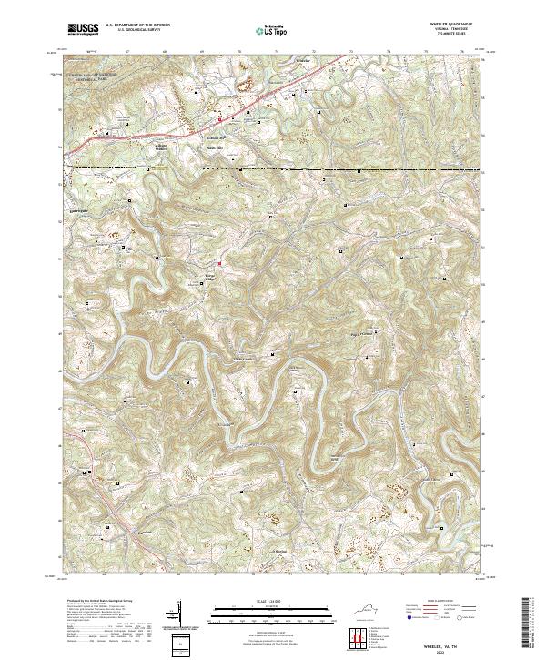
2022 Wheeler
Lee County, VA