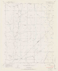
1947 Map of Ben Hur
USGS Topo · Published 1970About this map
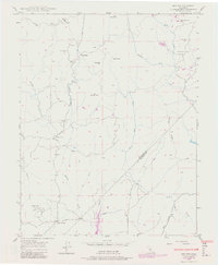
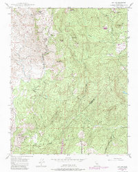
Ben Hur and its surrounding countryside reflect a mid-century period of rural life along the boundary of Mariposa Co and Madera Co. The landscape is anchored by a series of local schools that served the dispersed homesteads, including Ben Hur Sch, Oakgrove Sch, and Oakvale Sch. These educational centers, often situated near natural landmarks like Knob Hill or Lacy Hill, mark the social hubs of the era.
Find a feature on this map
28 named features on this map. Tap any name to fly to it.
Don’t see what you’re looking for? This feature index may not catch every label — zoom into the map to look around manually.
Map Details
Editions of this 1947 Ben Hur Map
6 editions found
Other maps of this area

1912 · Mariposa
USGS Topo · 1:125,000

1919 · Indian Gulch
USGS Topo · 1:48,000

1919 · Raynor Creek
USGS Topo · 1:31,680

1920 · Indian Gulch
USGS Topo · 1:62,500

1942 · Raymond
USGS Topo · 1:62,500

1944 · Raymond
USGS Topo · 1:62,500
1946 · Le Grand
USGS Topo · 1:62,500
1947 · Raynor Creek
USGS Topo · 1:24,000

1947 · Mariposa
USGS Topo · 1:24,000

1947 · San Jose
USGS Topo · 1:250,000