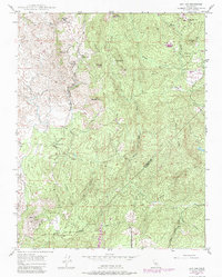
1947 Map of Ben Hur
USGS Topo · Published 1988About this map
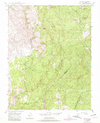
The community of Ben Hur anchors this 1947 survey of the foothills spanning the Mariposa Co Madera Co line. This landscape is defined by its rural school network, including Ben Hur Sch, Oakvale Sch, Green Mtn Sch, and Oakgrove Sch, reflecting a time when localized education served family ranches and small settlements before district consolidation. A high lookout stands watch over the terrain, which rises to landmarks like Bald Rock and Green Mtn.
Find a feature on this map
24 named features on this map. Tap any name to fly to it.
Don’t see what you’re looking for? This feature index may not catch every label — zoom into the map to look around manually.
Map Details
Editions of this 1947 Ben Hur Map
6 editions found
Other maps of this area

1912 · Mariposa
USGS Topo · 1:125,000

1919 · Indian Gulch
USGS Topo · 1:48,000

1919 · Raynor Creek
USGS Topo · 1:31,680

1920 · Indian Gulch
USGS Topo · 1:62,500

1942 · Raymond
USGS Topo · 1:62,500

1944 · Raymond
USGS Topo · 1:62,500
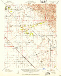
1946 · Le Grand
USGS Topo · 1:62,500
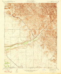
1947 · Raynor Creek
USGS Topo · 1:24,000

1947 · Mariposa
USGS Topo · 1:24,000

1947 · San Jose
USGS Topo · 1:250,000