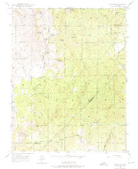
1947 Map of Ben Hur
USGS Topo · Published 1975About this map
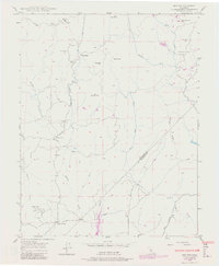
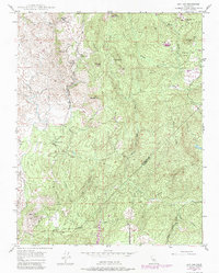
The settlement of Ben Hur and its surrounding ranchlands are documented here just after World War II, showing a landscape defined by seasonal drainages and local schoolhouses. The area is anchored by educational centers including Ben Hur Sch, Oakgrove Sch, and Oakvale Sch, reflecting the rural social structure of the era. The terrain transitions from the lower reaches of the Chowchilla River in the south up toward prominent elevations like Bald Rock and Buckeye Hill.
Find a feature on this map
26 named features on this map. Tap any name to fly to it.
Don’t see what you’re looking for? This feature index may not catch every label — zoom into the map to look around manually.
Map Details
Editions of this 1947 Ben Hur Map
6 editions found
Other maps of this area

1912 · Mariposa
USGS Topo · 1:125,000

1919 · Indian Gulch
USGS Topo · 1:48,000

1919 · Raynor Creek
USGS Topo · 1:31,680

1920 · Indian Gulch
USGS Topo · 1:62,500

1942 · Raymond
USGS Topo · 1:62,500

1944 · Raymond
USGS Topo · 1:62,500
1946 · Le Grand
USGS Topo · 1:62,500
1947 · Raynor Creek
USGS Topo · 1:24,000

1947 · Mariposa
USGS Topo · 1:24,000

1947 · San Jose
USGS Topo · 1:250,000