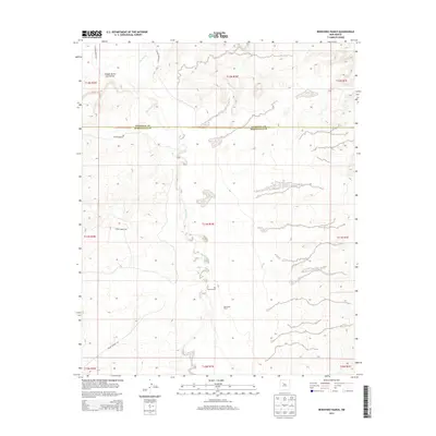
2013 Map of Benavidez Ranch
USGS Topo · Published 2013About this map
The Rio Puerco river cuts a complex path through the high desert landscape west of Albuquerque, defining the character of this arid region. This 2013 survey illustrates a sparsely populated terrain where the borders of Sandoval and Bernalillo Counties meet. Land use is characterized by large holdings and designated territories, most notably the Laguna Indian Res which occupies the northwestern portion of the map. Traces of human activity are concentrated around the Rio Puerco Ranch and along the Indian Service Rd, showing how transportation and settlement patterns are dictated by the natural drainage of the Cañada de los Canoncitos. The map offers a clear look at the public land survey system, meticulously detailing the townships and ranges that overlay this rugged New Mexican topography.
Find a feature on this map
15 named features on this map. Tap any name to fly to it.
Don’t see what you’re looking for? This feature index may not catch every label — zoom into the map to look around manually.
Map Details
Editions of this 2013 Benavidez Ranch Map
This is the sole edition of this map. No revisions or reprints were ever made.
Other maps of this area

1883 · Mt. Taylor
USGS Topo · 1:250,000

1886 · Mt. Taylor
USGS Topo · 1:250,000

1888 · Bernalillo
USGS Topo · 1:125,000

1889 · Albuquerque
USGS Topo · 1:125,000

1892 · Mt. Taylor
USGS Topo · 1:250,000

1893 · Albuquerque
USGS Topo · 1:125,000

1899 · Mt. Taylor
USGS Topo · 1:250,000

1954 · Herrera
USGS Topo · 1:24,000

1954 · Volcano Ranch
USGS Topo · 1:24,000

1954 · Sky Village
USGS Topo · 1:24,000