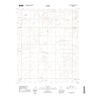
2020 Map of Benavidez Ranch
USGS Topo · Published 2020About this map
Rio Puerco meanders through the arid drainage of the Middle Puerco Valley, defining the central geography of this high-desert landscape. The terrain is characterized by the winding waterway and the northern reach of Cañada de los Canoncitos, a prominent drainage system cutting through the mesa country. Located in the southwestern portion of the map, the namesake Benavidez Ranch stands as a primary point of human settlement amidst the vast public and private land divisions. This 2020 edition captures the area's intricate land survey system, showing the boundary line between Sandoval Co and Bernalillo Co. The map illustrates how historic land use and ranching have adapted to the intermittent water sources and the physical challenges of the Western New Mexico badlands.
Find a feature on this map
13 named features on this map. Tap any name to fly to it.
Don’t see what you’re looking for? This feature index may not catch every label — zoom into the map to look around manually.
Map Details
Editions of this 2020 Benavidez Ranch Map
This is the sole edition of this map. No revisions or reprints were ever made.
Other maps of this area

1883 · Mt. Taylor
USGS Topo · 1:250,000

1886 · Mt. Taylor
USGS Topo · 1:250,000

1888 · Bernalillo
USGS Topo · 1:125,000

1889 · Albuquerque
USGS Topo · 1:125,000

1892 · Mt. Taylor
USGS Topo · 1:250,000

1893 · Albuquerque
USGS Topo · 1:125,000

1899 · Mt. Taylor
USGS Topo · 1:250,000

1954 · Herrera
USGS Topo · 1:24,000

1954 · Volcano Ranch
USGS Topo · 1:24,000

1954 · Sky Village
USGS Topo · 1:24,000