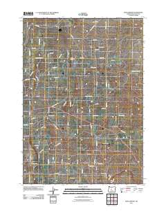
2011 Map of Bend Airport
USGS Topo · Published 2011About this map
Bend Municipal Airport serves as a central hub for this high-desert landscape in Deschutes County, anchoring a network of rural roads and residential loops that trace the outskirts of the city. The map reveals a transition from organized municipal infrastructure to more secluded parcels, such as those along Peterman Ln and Abbey Rd. A distinct contrast exists between the busy corridors of the Powell Butte Hwy and the quiet, isolated waters of Mayfield Pond to the east. Local aviators and land use researchers will note the placement of the Kennel Airstrip further south, illustrating the importance of private and regional flight in this part of Oregon. The grid of suburban expansion is evident in developments like the Gentry Loop and Pioneer Loop, showing the encroachment of modern residential patterns into the sagebrush-accented terrain.
Find a feature on this map
80 named features on this map. Tap any name to fly to it.
Don’t see what you’re looking for? This feature index may not catch every label — zoom into the map to look around manually.
Map Details
Editions of this 2011 Bend Airport Map
This is the sole edition of this map. No revisions or reprints were ever made.
Other maps of this area

1926 · Bend
USGS Topo · 1:125,000

1929 · Bend
USGS Topo · 1:125,000

1931 · Newberry Crater
USGS Topo · 1:125,000

1935 · Newberry Crater
USGS Topo · 1:125,000

1955 · Crescent
USGS Topo · 1:250,000

1955 · Bend
USGS Topo · 1:250,000

1957 · Crescent
USGS Topo · 1:250,000

1957 · Bend
USGS Topo · 1:250,000

1958 · Crescent
USGS Topo · 1:250,000

1958 · Bend
USGS Topo · 1:250,000