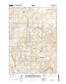
2014 Map of Bend Airport
USGS Topo · Published 2014About this map
Bend Municipal Airport serves as a central landmark for this transition between the city’s eastern outskirts and the High Desert plateau. The landscape is defined by a dense grid of residential and agricultural roads, including Ne Butler Market Rd and Alfalfa Market Rd, which connect the more developed areas to the west with the open country to the east. The terrain is relatively flat, punctuated by the small Mayfield Pond and the specialized Kennel Airstrip further south.
Find a feature on this map
89 named features on this map. Tap any name to fly to it.
Don’t see what you’re looking for? This feature index may not catch every label — zoom into the map to look around manually.
Map Details
Editions of this 2014 Bend Airport Map
This is the sole edition of this map. No revisions or reprints were ever made.
Other maps of this area

1926 · Bend
USGS Topo · 1:125,000

1929 · Bend
USGS Topo · 1:125,000

1931 · Newberry Crater
USGS Topo · 1:125,000

1935 · Newberry Crater
USGS Topo · 1:125,000

1955 · Crescent
USGS Topo · 1:250,000

1955 · Bend
USGS Topo · 1:250,000

1957 · Crescent
USGS Topo · 1:250,000

1957 · Bend
USGS Topo · 1:250,000

1958 · Crescent
USGS Topo · 1:250,000

1958 · Bend
USGS Topo · 1:250,000