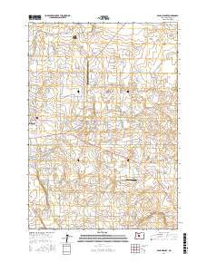
2017 Map of Bend Airport
USGS Topo · Published 2017About this map
Bend Municipal Airport anchors the landscape east of the central city, surrounded by a transition from suburban residential developments to the open High Desert terrain of Deschutes County. The 2017 topography reveals a dense network of residential streets and named loops, including Pioneer Loop and Gentry Loop, which indicate the continued expansion of suburban residential clusters into previously undeveloped tracts.
Find a feature on this map
88 named features on this map. Tap any name to fly to it.
Don’t see what you’re looking for? This feature index may not catch every label — zoom into the map to look around manually.
Map Details
Editions of this 2017 Bend Airport Map
This is the sole edition of this map. No revisions or reprints were ever made.
Other maps of this area

1926 · Bend
USGS Topo · 1:125,000

1929 · Bend
USGS Topo · 1:125,000

1931 · Newberry Crater
USGS Topo · 1:125,000

1935 · Newberry Crater
USGS Topo · 1:125,000

1955 · Crescent
USGS Topo · 1:250,000

1955 · Bend
USGS Topo · 1:250,000

1957 · Crescent
USGS Topo · 1:250,000

1957 · Bend
USGS Topo · 1:250,000

1958 · Crescent
USGS Topo · 1:250,000

1958 · Bend
USGS Topo · 1:250,000