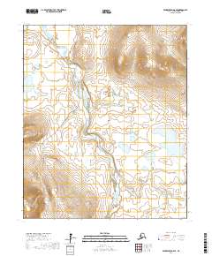
2017 Map of Bendeleben A-6 SE
USGS Topo · Published 2017About this map
Pilgrim River winds through the center of this terrain, marking a significant drainage system within the Bendeleben A-6 SE quadrangle. The map reveals the critical transportation infrastructure of the Nome Census Area, primarily defined by the Kougarok Road/Nome-Taylor Highway, which serves as a vital overland link through this part of the Seward Peninsula. Branching westward, the Pilgrim Hot Springs Road provides access to the surrounding landscape, crossing several watercourses. Numerous smaller tributaries, such as Lucky Dog Cr, Golden Gate Cr, and Sherrette Cr, feed into the larger river systems. The lack of named settlements emphasizes the character of this area as a corridor for travel and resource access rather than a site of permanent habitation, with township and range lines like t5s r30w providing the primary geographic structure.
Find a feature on this map
15 named features on this map. Tap any name to fly to it.
Don’t see what you’re looking for? This feature index may not catch every label — zoom into the map to look around manually.
Map Details
Editions of this 2017 Bendeleben A-6 SE Map
This is the sole edition of this map. No revisions or reprints were ever made.
Other maps of this area

1907 · Casadepaga
USGS Topo · 1:62,500

1950 · Bendeleben A-6
USGS Topo · 1:63,360

1950 · Bendeleben A-5
USGS Topo · 1:63,360

1950 · Bendeleben
USGS Topo · 1:250,000

1950 · Solomon
USGS Topo · 1:250,000

1950 · Solomon D-6
USGS Topo · 1:63,360

1950 · Solomon D-5
USGS Topo · 1:63,360

1951 · Bendeleben
USGS Topo · 1:250,000

1951 · Solomon
USGS Topo · 1:250,000

1964 · Bendeleben
USGS Topo · 1:250,000