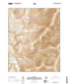
2017 Map of Bendeleben D-1 NW
USGS Topo · Published 2017About this map
Chicago Creek sits at the heart of this landscape, marking a localized pocket of activity within the surrounding terrain of the Northwest Arctic. The drainage network is clearly defined by the Kugruk River, which flows through the southwestern corner of the quadrangle, collecting various tributaries including Postage Cr and Contact Cr. The geography is characterized by the structured Public Land Survey System grids of t7n r18w and t7n r17w, which overlay the natural contours of the river valley.
Find a feature on this map
11 named features on this map. Tap any name to fly to it.
Don’t see what you’re looking for? This feature index may not catch every label — zoom into the map to look around manually.
Map Details
Editions of this 2017 Bendeleben D-1 NW Map
This is the sole edition of this map. No revisions or reprints were ever made.
Other maps of this area

1950 · Kotzebue A-1
USGS Topo · 1:63,360

1950 · Bendeleben D-2
USGS Topo · 1:63,360

1950 · Bendeleben
USGS Topo · 1:250,000

1950 · Bendeleben D-1
USGS Topo · 1:63,360

1950 · Kotzebue A-2
USGS Topo · 1:63,360

1951 · Bendeleben
USGS Topo · 1:250,000

1951 · Kotzebue
USGS Topo · 1:250,000

1958 · Kotzebue
USGS Topo · 1:250,000

1964 · Bendeleben
USGS Topo · 1:250,000

1964 · Kotzebue
USGS Topo · 1:250,000