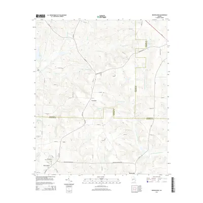
2014 Map of Benevolence
USGS Topo · Published 2014About this map
Benevolence sits at the intersection of several rural routes, serving as a focal point for this Southwest Georgia landscape defined by the borders of Stewart, Webster, and Randolph counties. The settlement is anchored by the Benevolence Baptist Church Cem, a key landmark for local genealogical research. To the north, smaller clusters like Troutman, Gore, and Freeman are scattered across a terrain drained by numerous branches and creeks.
Find a feature on this map
61 named features on this map. Tap any name to fly to it.
Don’t see what you’re looking for? This feature index may not catch every label — zoom into the map to look around manually.
Map Details
Editions of this 2014 Benevolence Map
This is the sole edition of this map. No revisions or reprints were ever made.
Other maps of this area

1950 · Lumpkin
USGS Topo · 1:24,000

1950 · Lumpkin
USGS Topo · 1:62,500

1953 · Dothan
USGS Topo · 1:250,000

1954 · Dothan
USGS Topo · 1:250,000

1955 · Dothan
USGS Topo · 1:250,000

1955 · Lumpkin
USGS Topo · 1:24,000

1955 · Lumpkin
USGS Topo · 1:62,500

1955 · Phenix City
USGS Topo · 1:250,000

1957 · Phenix City
USGS Topo · 1:250,000

1958 · Phenix City
USGS Topo · 1:250,000