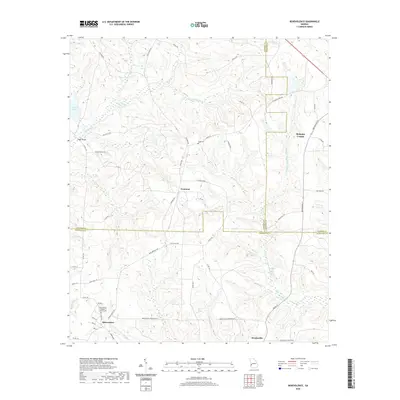
2020 Map of Benevolence
USGS Topo · Published 2020About this map
Benevolence and the surrounding agricultural lands of Southwest Georgia are defined by a complex network of waterways that eventually feed the Flint River basin. This survey documents the headwaters of the W Fork Ichawaynochaway Cr and the Little Ichawaynochaway Cr, which carve through the terrain alongside numerous named branches like Watts Gin Br and Summerford Br. The settlement pattern is deeply rooted in local history, anchored by the Benevolence Baptist Church and the crossroads at Brooksville and Troutman.
Find a feature on this map
65 named features on this map. Tap any name to fly to it.
Don’t see what you’re looking for? This feature index may not catch every label — zoom into the map to look around manually.
Map Details
Editions of this 2020 Benevolence Map
This is the sole edition of this map. No revisions or reprints were ever made.
Other maps of this area

1950 · Lumpkin
USGS Topo · 1:24,000

1950 · Lumpkin
USGS Topo · 1:62,500

1953 · Dothan
USGS Topo · 1:250,000

1954 · Dothan
USGS Topo · 1:250,000

1955 · Dothan
USGS Topo · 1:250,000

1955 · Lumpkin
USGS Topo · 1:24,000

1955 · Lumpkin
USGS Topo · 1:62,500

1955 · Phenix City
USGS Topo · 1:250,000

1957 · Phenix City
USGS Topo · 1:250,000

1958 · Phenix City
USGS Topo · 1:250,000