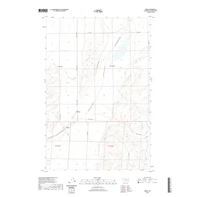
2020 Map of Benge
USGS Topo · Published 2020About this map
Benge serves as the central hub of this eastern Washington landscape, where the intersection of several significant rural routes reflects the region's agricultural and transit history. The Columbia Plateau State Park Trail cuts a diagonal path across the quadrangle, following a former rail corridor that once linked these remote Palouse outposts. The terrain is defined by its water sources and ranching infrastructure, including Twentymile Spring, Mud Spring, and Spider Lake in the southern reaches. Local aviation is represented by the Clinesmith Ranch Airport, situated just north of the town site. An extensive network of named roads like Ritzville-Benge Rd and Benge-Winona Rd connects the scattered homesteads and section lines of Townships 16 and 17 North.
Find a feature on this map
21 named features on this map. Tap any name to fly to it.
Don’t see what you’re looking for? This feature index may not catch every label — zoom into the map to look around manually.
Map Details
Editions of this 2020 Benge Map
This is the sole edition of this map. No revisions or reprints were ever made.
Other maps of this area

1950 · La Crosse
USGS Topo · 1:62,500

1950 · Benge
USGS Topo · 1:62,500

1952 · La Crosse
USGS Topo · 1:62,500

1952 · Benge
USGS Topo · 1:62,500

1953 · Walla Walla
USGS Topo · 1:250,000

1953 · Ritzville
USGS Topo · 1:250,000

1955 · Pullman
USGS Topo · 1:250,000

1955 · Spokane
USGS Topo · 1:250,000

1958 · Spokane
USGS Topo · 1:250,000

1958 · Pullman
USGS Topo · 1:250,000