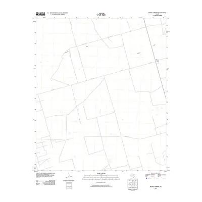
2010 Map of Benge Corner
USGS Topo · Published 2010About this map
Benge Corner sits at a crossroads in the Permian Basin, marking a landscape defined by geometric ranching boundaries and the ephemeral passage of Johnson Draw. This 2010 survey illustrates the transition from traditional open range to the modern grid of West Texas, where local travel is dictated by routes like W Fm 1787 and W Co Rd 270. The terrain is characterized by subtle elevation changes and seasonal watercourses that cut through the high plains. The intersection of S Co Rd 1240 and other county roads reveals a sparsely populated area where the primary landmarks are often the names of the draws and the junctions themselves. Researchers will find a clear record of land use and road development in this part of Midland County during the early 21st century.
Find a feature on this map
7 named features on this map. Tap any name to fly to it.
Don’t see what you’re looking for? This feature index may not catch every label — zoom into the map to look around manually.
Map Details
Editions of this 2010 Benge Corner Map
This is the sole edition of this map. No revisions or reprints were ever made.
Other maps of this area

1954 · Pecos
USGS Topo · 1:250,000

1954 · San Angelo
USGS Topo · 1:250,000

1957 · Pecos
USGS Topo · 1:250,000

1958 · San Angelo
USGS Topo · 1:250,000

1964 · Bryant Ranch
USGS Topo · 1:24,000

1964 · Parks
USGS Topo · 1:24,000

1965 · San Angelo
USGS Topo · 1:250,000

1965 · Salt Lake
USGS Topo · 1:24,000

1968 · Benge Corner SE
USGS Topo · 1:24,000

1968 · Benge Corner NW
USGS Topo · 1:24,000