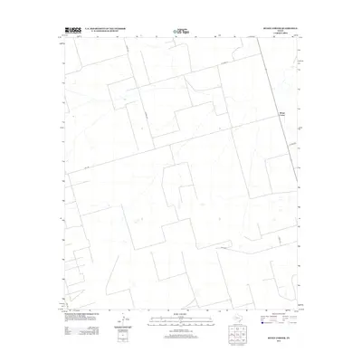
2012 Map of Benge Corner
USGS Topo · Published 2012About this map
Benge Corner serves as the focal point of this sparsely populated Midland County landscape during the early 2010s. The region is defined by a rigid grid of rural transport routes, including the intersection of Fm 1787 and Fm 1788, which likely facilitate the movement of local agricultural or industrial resources across this section of West Texas. A network of county roads, such as W Co Rd 270 and S Co Rd 1240, creates large geometric tracts of land, suggesting a pattern of large-scale ranching or mineral extraction common to the Permian Basin. While the terrain is relatively uniform with subtle elevation changes, the presence of localized drainage features and small depressions is noted amidst the thoroughfares of Co Rd 330 and E Co Rd 300.
Find a feature on this map
9 named features on this map. Tap any name to fly to it.
Don’t see what you’re looking for? This feature index may not catch every label — zoom into the map to look around manually.
Map Details
Editions of this 2012 Benge Corner Map
This is the sole edition of this map. No revisions or reprints were ever made.
Other maps of this area

1954 · Pecos
USGS Topo · 1:250,000

1954 · San Angelo
USGS Topo · 1:250,000

1957 · Pecos
USGS Topo · 1:250,000

1958 · San Angelo
USGS Topo · 1:250,000

1964 · Bryant Ranch
USGS Topo · 1:24,000

1964 · Parks
USGS Topo · 1:24,000

1965 · San Angelo
USGS Topo · 1:250,000

1965 · Salt Lake
USGS Topo · 1:24,000

1968 · Benge Corner SE
USGS Topo · 1:24,000

1968 · Benge Corner NW
USGS Topo · 1:24,000