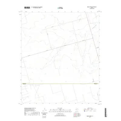
2019 Map of Benge Corner
USGS Topo · Published 2019About this map
Johnson Draw cuts across the high Permian Basin landscape in this part of West Texas, providing the primary topographic relief in an area otherwise defined by its agricultural and industrial grid. The survey captures a moment when the transition between Midland County and Upton County is marked by a network of ranch and farm roads, including W Fm 1787 and W Co Rd 270. These long, straight thoroughfares underscore the geometric layout of land ownership typical of the region. The map illustrates how local transportation, such as S Co Rd 1240 and Wilson Ln, follows the section lines of the survey grid, while the natural path of the draw ignores these man-made boundaries, carving a seasonal watercourse toward the southeast.
Find a feature on this map
9 named features on this map. Tap any name to fly to it.
Don’t see what you’re looking for? This feature index may not catch every label — zoom into the map to look around manually.
Map Details
Editions of this 2019 Benge Corner Map
This is the sole edition of this map. No revisions or reprints were ever made.
Other maps of this area

1954 · Pecos
USGS Topo · 1:250,000

1954 · San Angelo
USGS Topo · 1:250,000

1957 · Pecos
USGS Topo · 1:250,000

1958 · San Angelo
USGS Topo · 1:250,000

1964 · Bryant Ranch
USGS Topo · 1:24,000

1964 · Parks
USGS Topo · 1:24,000

1965 · San Angelo
USGS Topo · 1:250,000

1965 · Salt Lake
USGS Topo · 1:24,000

1968 · Benge Corner SE
USGS Topo · 1:24,000

1968 · Benge Corner NW
USGS Topo · 1:24,000