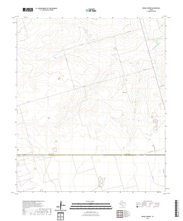
2022 Map of Benge Corner
USGS Topo · Published 2022About this map
Johnson Draw meanders through this West Texas landscape, defining the local hydrology across the border of Midland and Upton counties. The terrain is characterized by the expansive arid flats typical of the Permian Basin, where the sparse natural features are overlaid by a rigid grid of ranch roads and regional thoroughfares. Primary access through this territory is facilitated by W Fm 1787, which intersects several county roads such as W Co Rd 270 and S Co Rd 1240. The straight lines of the transportation network, including E Co Rd 300 and S Co Rd 1210, reflect the systematic partitioning of the land for agricultural or industrial use. To the south, W Co Rd 330 and Co Rd 123 provide further navigation through this open expanse, leading toward more remote reaches like Wilson Ln.
Find a feature on this map
10 named features on this map. Tap any name to fly to it.
Don’t see what you’re looking for? This feature index may not catch every label — zoom into the map to look around manually.
Map Details
Editions of this 2022 Benge Corner Map
This is the sole edition of this map. No revisions or reprints were ever made.
Other maps of this area

1954 · Pecos
USGS Topo · 1:250,000

1954 · San Angelo
USGS Topo · 1:250,000

1957 · Pecos
USGS Topo · 1:250,000

1958 · San Angelo
USGS Topo · 1:250,000

1964 · Bryant Ranch
USGS Topo · 1:24,000

1964 · Parks
USGS Topo · 1:24,000

1965 · San Angelo
USGS Topo · 1:250,000

1965 · Salt Lake
USGS Topo · 1:24,000

1968 · Benge Corner SE
USGS Topo · 1:24,000

1968 · Benge Corner NW
USGS Topo · 1:24,000