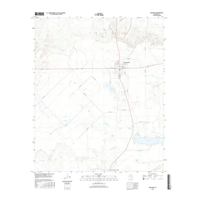
2016 Map of Benjamin
USGS Topo · Published 2016About this map
Benjamin serves as the focal point of this Knox County landscape, where the street grid is anchored by thoroughfares like E Hayes St and N Stewart St. The surrounding terrain is defined by an extensive network of water management features, including several livestock or catchment basins such as Jackson Tank, Quintana Tank, and Sheep Section Tank. These tanks, scattered across the ranch land, highlight the vital role of water storage in this semi-arid region. To the south, the Brazos River meanders across the bottom of the sheet, crossed by the State Highway 16 Bridge. The geography is further carved by drainage systems like Dutchman Cr and Gyp Cr, while larger bodies such as Lake Benjamin and Lake Davis provide significant landmarks for local residents and land managers.
Find a feature on this map
44 named features on this map. Tap any name to fly to it.
Don’t see what you’re looking for? This feature index may not catch every label — zoom into the map to look around manually.
Map Details
Editions of this 2016 Benjamin Map
This is the sole edition of this map. No revisions or reprints were ever made.
Other maps of this area

1954 · Wichita Falls
USGS Topo · 1:250,000

1958 · Wichita Falls
USGS Topo · 1:250,000

1966 · Truscott South
USGS Topo · 1:24,000

1966 · Gilliland
USGS Topo · 1:24,000

1966 · Maverick Flat
USGS Topo · 1:24,000

1967 · Cedar Mountain
USGS Topo · 1:24,000

1967 · Benjamin
USGS Topo · 1:24,000

1967 · Knox City NW
USGS Topo · 1:24,000

1967 · Rhineland
USGS Topo · 1:24,000

1968 · Munday West
USGS Topo · 1:24,000