
1961 Map of Benkelman
USGS Topo · Published 1963About this map
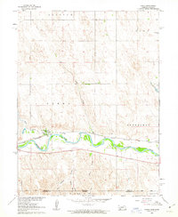
The confluence of the Republican River and its South Fork dominates this 1961 survey of southwestern Nebraska, where the community of Benkelman serves as a vital rail and river hub. The Chicago Burlington and Quincy railroad tracks parallel the river valley, connecting the town to the smaller settlement of Doane to the west. This period in Dundy County history is characterized by a balance of traditional agriculture and specialized regional infrastructure, evidenced by the Benkelman State Fish Hatchery and the Fairground located on the town's southern edge.
Find a feature on this map
21 named features on this map. Tap any name to fly to it.
Don’t see what you’re looking for? This feature index may not catch every label — zoom into the map to look around manually.
Map Details
Editions of this 1961 Benkelman Map
This is the sole edition of this map. No revisions or reprints were ever made.
Other maps of this area

1950 · Mc Donald
USGS Topo · 1:62,500

1951 · Bird City North
USGS Topo · 1:62,500

1951 · Mc Donald
USGS Topo · 1:62,500

1954 · McCook
USGS Topo · 1:250,000

1954 · Goodland
USGS Topo · 1:250,000

1956 · Goodland
USGS Topo · 1:250,000

1957 · McCook
USGS Topo · 1:250,000

1957 · Goodland
USGS Topo · 1:250,000

1958 · McCook
USGS Topo · 1:250,000
1961 · Parks
USGS Topo · 1:24,000
Featured Places
- Benkelman, NE
- Baney Trailer Park, Benkelman
- Merklin Trailer Court, Benkelman
- Rainbow Fountain Park, Benkelman
- Cheyenne County, KS