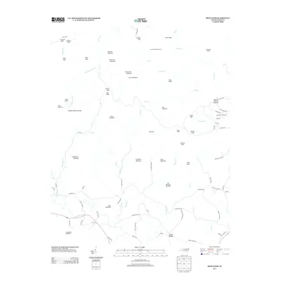
2013 Map of Benn Knob
USGS Topo · Published 2013About this map
South Mountains terrain dominates this North Carolina landscape, where numerous high peaks and spurs form a complex watershed for the First Broad River and its tributaries. The terrain is marked by numerous family-named peaks such as Bumgarther Mountain, Squire Knob, and Painter Knob, indicating a history of long-standing local landholding in the region. The drainage network is particularly intricate, with Pot Br, Brier Cr, and Nettle Br carving deep into the ridges.
Find a feature on this map
90 named features on this map. Tap any name to fly to it.
Don’t see what you’re looking for? This feature index may not catch every label — zoom into the map to look around manually.
Map Details
Editions of this 2013 Benn Knob Map
This is the sole edition of this map. No revisions or reprints were ever made.
Other maps of this area

1905 · Morganton
USGS Topo · 1:125,000

1950 · Shelby
USGS Topo · 1:62,500

1953 · Charlotte
USGS Topo · 1:250,000

1954 · Charlotte
USGS Topo · 1:250,000

1956 · Valdese
USGS Topo · 1:24,000

1956 · Benn Knob
USGS Topo · 1:24,000

1956 · Casar
USGS Topo · 1:24,000

1956 · Morganton South
USGS Topo · 1:24,000

1960 · Charlotte
USGS Topo · 1:250,000

1962 · Charlotte
USGS Topo · 1:250,000