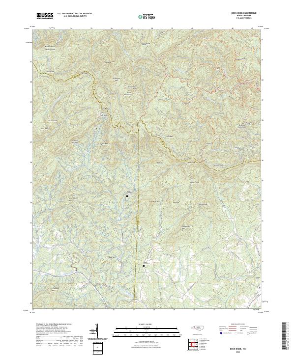
2022 Map of Benn Knob
USGS Topo · Published 2022About this map
The South Mountains dominate this landscape where the boundaries of Burke, Rutherford, and Cleveland counties converge. This rugged upland is defined by numerous peaks and ridges, including Richland Mtn Ridge, Benn Knob, and Covington Mtn. The drainage network is complex, with the First Broad River winding through the southern portion of the quadrangle, while smaller streams like Henry Fork and Jacob Fork carve through the northern slopes. The settlement of Casar sits at the southeastern edge of the map, serving as a focal point for local travel along Casar Rd.
Find a feature on this map
104 named features on this map. Tap any name to fly to it.
Don’t see what you’re looking for? This feature index may not catch every label — zoom into the map to look around manually.
Map Details
Editions of this 2022 Benn Knob Map
This is the sole edition of this map. No revisions or reprints were ever made.
Other maps of this area

1905 · Morganton
USGS Topo · 1:125,000

1950 · Shelby
USGS Topo · 1:62,500

1953 · Charlotte
USGS Topo · 1:250,000

1954 · Charlotte
USGS Topo · 1:250,000

1956 · Valdese
USGS Topo · 1:24,000

1956 · Benn Knob
USGS Topo · 1:24,000

1956 · Casar
USGS Topo · 1:24,000

1956 · Morganton South
USGS Topo · 1:24,000

1960 · Charlotte
USGS Topo · 1:250,000

1962 · Charlotte
USGS Topo · 1:250,000