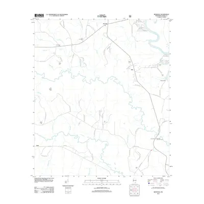
2012 Map of Benndale
USGS Topo · Published 2012About this map
The confluence of the Pascagoula River and Black Cr defines this pocket of George County, where the landscape transitions from the higher ground of The Wyatt Hills and McCray Bluff into a dense network of tributaries. The settlement of Benndale serves as a local hub, connected by roads that frequently bear the names of local families, such as Buddy Fairley Loop, Joe Sumrall Rd, and Vardaman Graves Rd.
Find a feature on this map
87 named features on this map. Tap any name to fly to it.
Don’t see what you’re looking for? This feature index may not catch every label — zoom into the map to look around manually.
Map Details
Editions of this 2012 Benndale Map
This is the sole edition of this map. No revisions or reprints were ever made.
Other maps of this area

1941 · Vancleave
USGS Topo · 1:62,500

1941 · Lucedale
USGS Topo · 1:62,500

1943 · Lucedale
USGS Topo · 1:62,500

1943 · Vancleave
USGS Topo · 1:62,500

1944 · Vancleave
USGS Topo · 1:62,500

1947 · Benndale
USGS Topo · 1:62,500

1949 · Benndale
USGS Topo · 1:62,500

1953 · Mobile
USGS Topo · 1:250,000

1954 · Vestry
USGS Topo · 1:62,500

1957 · Mobile
USGS Topo · 1:250,000