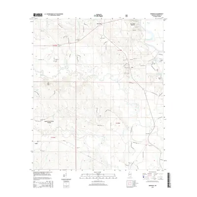
2015 Map of Benndale
USGS Topo · Published 2015About this map
The Pascagoula River meanders through the eastern edge of this landscape, its path defined by features like McCray Bluff and numerous oxbow formations such as Mixon Lakes and Hutson Lake. This George County terrain is heavily forested, with a significant portion of the southwest quadrant encompassed by the DeSoto National Forest. Small communities and family-centered landmarks are scattered throughout, including the settlement of Benndale and the residential area of Riverview Estates.
Find a feature on this map
87 named features on this map. Tap any name to fly to it.
Don’t see what you’re looking for? This feature index may not catch every label — zoom into the map to look around manually.
Map Details
Editions of this 2015 Benndale Map
This is the sole edition of this map. No revisions or reprints were ever made.
Other maps of this area

1941 · Vancleave
USGS Topo · 1:62,500

1941 · Lucedale
USGS Topo · 1:62,500

1943 · Lucedale
USGS Topo · 1:62,500

1943 · Vancleave
USGS Topo · 1:62,500

1944 · Vancleave
USGS Topo · 1:62,500

1947 · Benndale
USGS Topo · 1:62,500

1949 · Benndale
USGS Topo · 1:62,500

1953 · Mobile
USGS Topo · 1:250,000

1954 · Vestry
USGS Topo · 1:62,500

1957 · Mobile
USGS Topo · 1:250,000