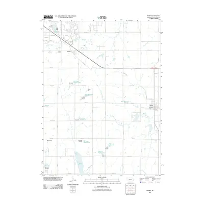
1966 Map of Bennet
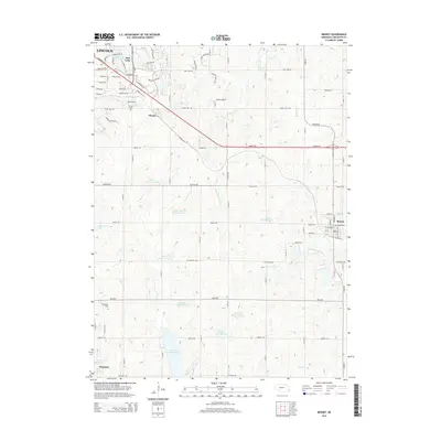
USGS Topo · Published 1973About this map
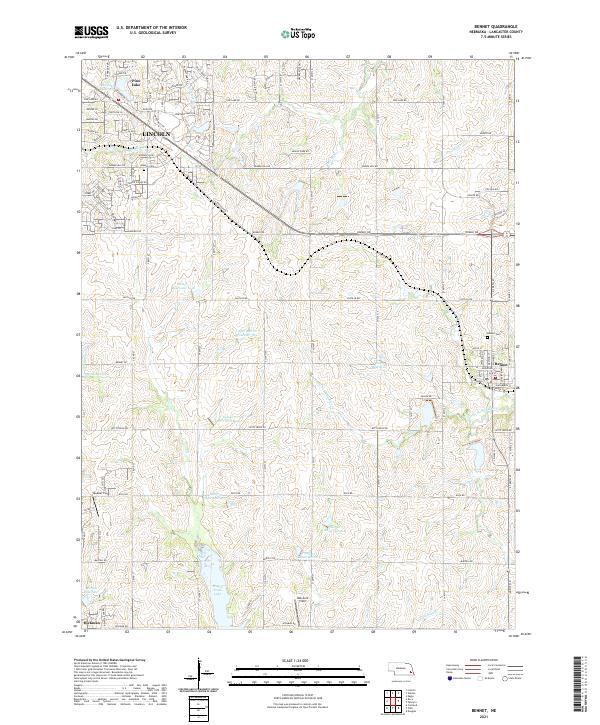
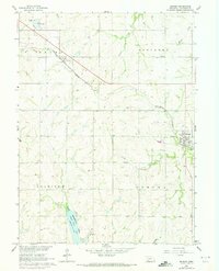
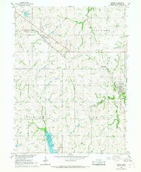
The Burlington Northern railroad corridor defines the development of this Lancaster County landscape, cutting diagonally through the settlements of Cheney and Bennet. To the south, the State Recreation Area surrounding Wagon Train Lake provides a significant hydrological and recreational anchor, contrasting with the agricultural survey grid that dominates the townships of Stockton, Saltillo, and Nem Aha. Local history and genealogy interests are served by the presence of the Cheney Cem and a smaller Cem located just north of Bennet. Waterways such as the Little Nemaha River, Stevens Creek, and Beal Slough weave through the terrain, illustrating the natural drainage patterns that shaped early farmstead placement. Revisions from 1972, marked in purple, show the evolving infrastructure including a Sewage Disp facility and a Radio Tower, reflecting the modernization of the region during the mid-20th century.
Find a feature on this map
24 named features on this map. Tap any name to fly to it.
Don’t see what you’re looking for? This feature index may not catch every label — zoom into the map to look around manually.
Map Details
Editions of this 1966 Bennet Map
2 editions found
Historical Maps of Lincoln Through Time
5 maps found