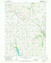
1966 Map of Bennet
USGS Topo · Published 1967About this map
The Chicago Burlington and Quincy railroad cuts diagonally across this portion of Lancaster County, serving as the industrial spine for the small settlements of Cheney and Bennet. This 1966 survey documents the rural landscape before the extensive suburban expansion of nearby regional centers, showing a transition between agricultural land and emerging water management and recreation sites. To the south, Wagon Train Lake dominates the State Recreation Area, providing a localized focus for leisure with its Campgrounds and Picnic Area. The terrain is defined by the drainage patterns of the Little Nemaha River and its tributaries like Stevens Creek and Hooper Creek. Local history and genealogy interest is found in the scattered markers of rural life, including the Cheney Cem, a municipal Water Tank in Bennet, and a Radio Tower situated among the farmsteads of Saltillo.
Find a feature on this map
23 named features on this map. Tap any name to fly to it.
Don’t see what you’re looking for? This feature index may not catch every label — zoom into the map to look around manually.
Map Details
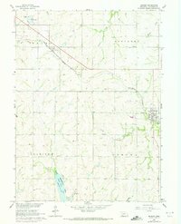
Editions of this 1966 Bennet Map
2 editions found
Other maps of this area

1897 · Lincoln
USGS Topo · 1:125,000

1903 · Weeping Water
USGS Topo · 1:125,000

1929 · Weeping Water
USGS Topo · 1:125,000

1955 · Lincoln
USGS Topo · 1:250,000

1957 · Lincoln
USGS Topo · 1:250,000

1958 · Lincoln
USGS Topo · 1:250,000

1964 · Cortland
USGS Topo · 1:24,000

1964 · Roca
USGS Topo · 1:24,000

1964 · Walton
USGS Topo · 1:24,000
1964 · Lincoln
USGS Topo · 1:24,000