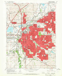
1964 Map of Lincoln
USGS Topo · Published 1966About this map
The State Capitol stands at the heart of this mid-1960s study, surrounded by the dense urban grid of Lincoln and its evolving suburban fringes. The map documents a period of significant institutional footprint, from the sprawling campus of the University of Nebraska and the University of Nebraska College of Agriculture to specialized facilities like the Whitehall State Childrens Home and the Lincoln State Hospital. To the northwest, the massive expanse of the Lincoln Air Force Base dominates the landscape near Salt Lake.
Find a feature on this map
143 named features on this map. Tap any name to fly to it.
Don’t see what you’re looking for? This feature index may not catch every label — zoom into the map to look around manually.
Map Details
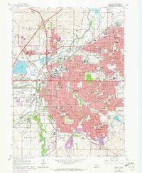
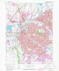
Editions of this 1964 Lincoln Map
3 editions found
Other maps of this area

1897 · Lincoln
USGS Topo · 1:125,000

1955 · Lincoln
USGS Topo · 1:250,000

1957 · Lincoln
USGS Topo · 1:250,000

1958 · Lincoln
USGS Topo · 1:250,000

1964 · Waverly
USGS Topo · 1:24,000

1964 · Denton
USGS Topo · 1:24,000

1964 · Roca
USGS Topo · 1:24,000

1964 · Davey
USGS Topo · 1:24,000

1964 · Walton
USGS Topo · 1:24,000
1964 · Emerald
USGS Topo · 1:24,000