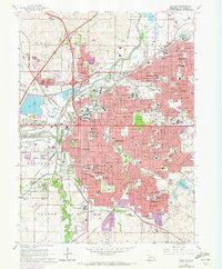
1964 Map of Lincoln
USGS Topo · Published 1973About this map
The State Capitol stands as the central landmark of this mid-century portrait of Nebraska's capital, a city defined by its dense educational and institutional core. Growth is evident in the sprawling residential suburbs of Havelock, Bethany, and College View, which were once independent communities now firmly integrated into the urban fabric. The map captures the significant presence of higher education, featuring Nebraska Wesleyan University, Union College, and the University of Nebraska College of Agriculture.
Find a feature on this map
94 named features on this map. Tap any name to fly to it.
Don’t see what you’re looking for? This feature index may not catch every label — zoom into the map to look around manually.
Map Details
Editions of this 1964 Lincoln Map
3 editions found
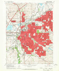
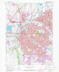
Other maps of this area

1897 · Lincoln
USGS Topo · 1:125,000

1955 · Lincoln
USGS Topo · 1:250,000

1957 · Lincoln
USGS Topo · 1:250,000

1958 · Lincoln
USGS Topo · 1:250,000

1964 · Waverly
USGS Topo · 1:24,000

1964 · Denton
USGS Topo · 1:24,000

1964 · Roca
USGS Topo · 1:24,000

1964 · Davey
USGS Topo · 1:24,000

1964 · Walton
USGS Topo · 1:24,000
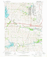
1964 · Emerald
USGS Topo · 1:24,000