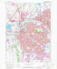
1964 Map of Lincoln
USGS Topo · Published 1980About this map
Lincoln is documented here during a period of significant mid-century expansion, centered on the State Capitol and the University of Nebraska. The map illustrates the city’s complex rail network, including the Burlington Northern and Union Pacific lines that historically fueled its growth. Beyond the urban core, distinct neighborhoods like University Place, Havelock, and College View maintain their unique street grids, while the eastern edge shows the burgeoning development of Bethany. Large institutional grounds such as the State Penitentiary and Lincoln State Hospital occupy significant footprints on the city’s periphery. Water features like Salt Creek and the man-made Holmes Lake define the local topography, alongside the expansive Wyuka Cemetery. Revisions from the late 1970s highlight the westward growth near the Lincoln Municipal Airport and the modernization of the local highway system.
Find a feature on this map
115 named features on this map. Tap any name to fly to it.
Don’t see what you’re looking for? This feature index may not catch every label — zoom into the map to look around manually.
Map Details
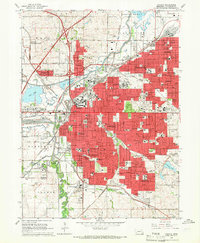
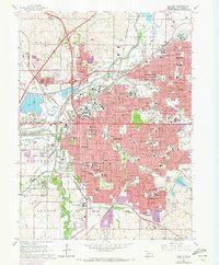
Editions of this 1964 Lincoln Map
3 editions found
Other maps of this area

1897 · Lincoln
USGS Topo · 1:125,000

1955 · Lincoln
USGS Topo · 1:250,000

1957 · Lincoln
USGS Topo · 1:250,000

1958 · Lincoln
USGS Topo · 1:250,000

1964 · Waverly
USGS Topo · 1:24,000

1964 · Denton
USGS Topo · 1:24,000

1964 · Roca
USGS Topo · 1:24,000

1964 · Davey
USGS Topo · 1:24,000

1964 · Walton
USGS Topo · 1:24,000
1964 · Emerald
USGS Topo · 1:24,000