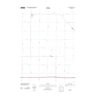
2013 Map of Bennett
USGS Topo · Published 2013About this map
Bennett sits at the northern intersection of Iowa Highway 130 and Cedar St, serving as a primary hub within this agricultural landscape of Cedar County. The terrain is defined by a dendritic network of small waterways, including Bennett Cr and Otter Cr, which flow through a grid of rural section roads such as Vermont Ave and Yankee Ave. To the east, the settlement of New Liberty is positioned along Railroad St, while the small community of Sunbury anchors the central-south portion of the map at the junction of Herman St and Washington Ave. The southern edge of the survey is dominated by a major east-west transportation corridor, where Interstate 80 crosses over Little Elkhorn Cr. This 2013 survey illustrates the persistence of small Iowa farm towns and their reliance on both traditional section-line roads and modern high-speed infrastructure.
Find a feature on this map
33 named features on this map. Tap any name to fly to it.
Don’t see what you’re looking for? This feature index may not catch every label — zoom into the map to look around manually.
Map Details
Editions of this 2013 Bennett Map
This is the sole edition of this map. No revisions or reprints were ever made.
Other maps of this area

1889 · Tipton
USGS Topo · 1:62,500

1890 · Durant
USGS Topo · 1:62,500

1890 · Tipton
USGS Topo · 1:62,500

1891 · Wilton Junction
USGS Topo · 1:62,500

1892 · Wheatland
USGS Topo · 1:62,500

1894 · Wheatland
USGS Topo · 1:62,500

1894 · Durant
USGS Topo · 1:62,500

1901 · Rock Island
USGS Topo · 1:125,000

1901 · Stanwood
USGS Topo · 1:125,000

1910 · Rock Island
USGS Topo · 1:125,000