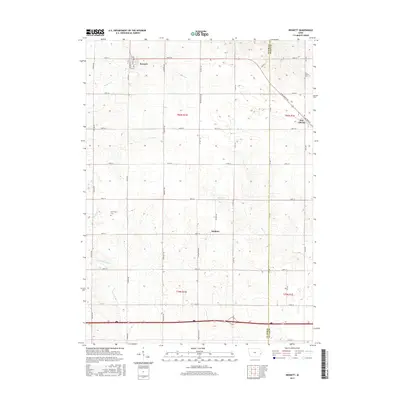
2015 Map of Bennett
USGS Topo · Published 2015About this map
Bennett stands as a primary settlement in this part of Cedar County, situated at the intersection of several local thoroughfares including 240th St and Union Ave. The landscape is defined by the agricultural grid of eastern Iowa, where small rural hubs like Sunbury and New Liberty provide focal points for the surrounding farmsteads. Several drainage systems carve subtle paths through the terrain, notably Bennett Cr and Mud Cr, which flow toward the Cedar and Scott County boundary line. Local history is preserved in quiet landmarks such as Farmington Cem and New Liberty Cem, which mark the presence of early communities in this section of the state. The layout of the roads, from 220th St in the south to the north-running Vermont Ave, reflects the enduring Public Land Survey System that continues to organize the township and range structures of the region.
Find a feature on this map
25 named features on this map. Tap any name to fly to it.
Don’t see what you’re looking for? This feature index may not catch every label — zoom into the map to look around manually.
Map Details
Editions of this 2015 Bennett Map
This is the sole edition of this map. No revisions or reprints were ever made.
Other maps of this area

1889 · Tipton
USGS Topo · 1:62,500

1890 · Durant
USGS Topo · 1:62,500

1890 · Tipton
USGS Topo · 1:62,500

1891 · Wilton Junction
USGS Topo · 1:62,500

1892 · Wheatland
USGS Topo · 1:62,500

1894 · Wheatland
USGS Topo · 1:62,500

1894 · Durant
USGS Topo · 1:62,500

1901 · Rock Island
USGS Topo · 1:125,000

1901 · Stanwood
USGS Topo · 1:125,000

1910 · Rock Island
USGS Topo · 1:125,000