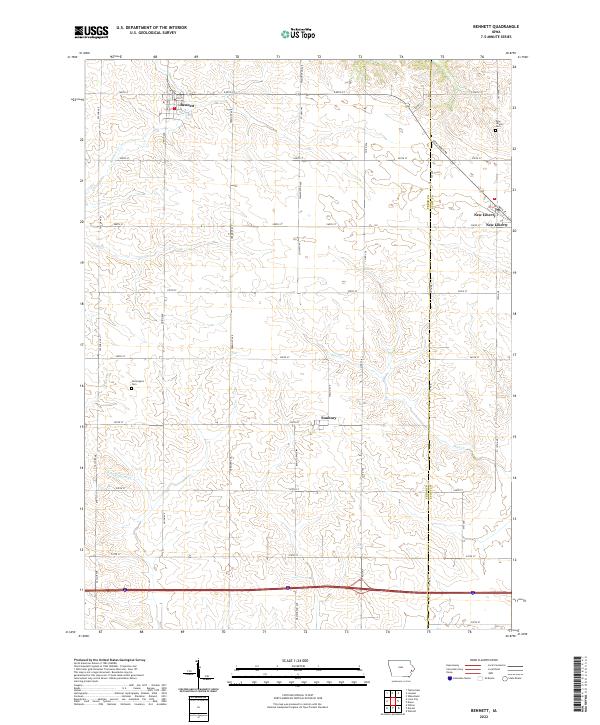
2022 Map of Bennett
USGS Topo · Published 2022About this map
The town of Bennett serves as a focal point in this section of eastern Iowa, where a strictly regulated grid of section lines like Taylor Ave and 240th St overlays a landscape carved by winding waterways. The drainage patterns of Bennett Cr and Mud Cr create rolling breaks in the otherwise uniform agricultural blocks, illustrating the persistence of natural hydrology against modern land division. Along the eastern edge, the boundary between Cedar Co and Scott Co runs north-south, passing through the village of New Liberty. This area maintains its rural character through established crossroads settlements like Sunbury and quiet memorial sites including Farmington Cem and New Liberty Cem. The map documents a classic Midwestern interior where small-scale drainage systems like Little Elkhorn Cr and Otter Cr continue to dictate the local topography between townships.
Find a feature on this map
40 named features on this map. Tap any name to fly to it.
Don’t see what you’re looking for? This feature index may not catch every label — zoom into the map to look around manually.
Map Details
Editions of this 2022 Bennett Map
This is the sole edition of this map. No revisions or reprints were ever made.
Other maps of this area

1889 · Tipton
USGS Topo · 1:62,500

1890 · Durant
USGS Topo · 1:62,500

1890 · Tipton
USGS Topo · 1:62,500

1891 · Wilton Junction
USGS Topo · 1:62,500

1892 · Wheatland
USGS Topo · 1:62,500

1894 · Wheatland
USGS Topo · 1:62,500

1894 · Durant
USGS Topo · 1:62,500

1901 · Rock Island
USGS Topo · 1:125,000

1901 · Stanwood
USGS Topo · 1:125,000

1910 · Rock Island
USGS Topo · 1:125,000