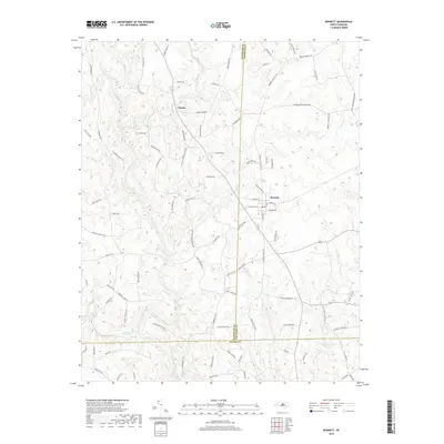
2019 Map of Bennett
USGS Topo · Published 2019About this map
Bennett serves as a primary hub for this rural region, situated where the borders of Randolph and Chatham counties meet Moore County. The settlement pattern is defined by family-named roads and thoroughfares that cross a landscape drained by the Deep River and its numerous tributaries. These waterways, including Richland Creek, Brush Creek, and Flat Creek, carve through the terrain, influencing the placement of early crossings and local industries. The map identifies several culturally significant corridors, such as Antioch Church Rd and the curiously named Devils Tramping Ground Rd on the eastern edge. For researchers, the presence of many roads named for early families—such as Chilton Rd, Flippin Rd, and Billy Brady Rd—provides direct links to the ancestral geography of these central North Carolina communities, while labels like Lambeth Mill Rd hint at the historical agricultural economy.
Find a feature on this map
89 named features on this map. Tap any name to fly to it.
Don’t see what you’re looking for? This feature index may not catch every label — zoom into the map to look around manually.
Map Details
Editions of this 2019 Bennett Map
This is the sole edition of this map. No revisions or reprints were ever made.
Other maps of this area

1942 · Troy
USGS Topo · 1:125,000

1953 · Raleigh
USGS Topo · 1:250,000

1954 · Raleigh
USGS Topo · 1:250,000

1968 · Ramseur
USGS Topo · 1:24,000

1968 · Coleridge
USGS Topo · 1:24,000

1968 · Erect
USGS Topo · 1:24,000

1968 · Bennett
USGS Topo · 1:24,000

1969 · Siler City
USGS Topo · 1:24,000

1970 · Bear Creek
USGS Topo · 1:24,000

1974 · Putnam
USGS Topo · 1:24,000