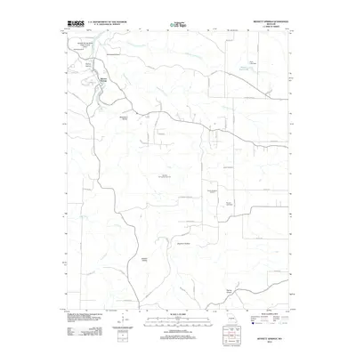
2012 Map of Bennett Springs
USGS Topo · Published 2012About this map
Bennett Springs and the surrounding Laclede County landscape are defined by the winding course of the Niangua River and its numerous subterranean connections. The area is a significant hydrological focal point, anchored by the Bennett Spring State Public Access Area and the namesake Bennett Spring. The terrain is deeply dissected by drainages such as Danceyard Hollow and Dogwood Hollow, revealing unique geological formations like the Bennett Spring Natural Tunnel.
Find a feature on this map
54 named features on this map. Tap any name to fly to it.
Don’t see what you’re looking for? This feature index may not catch every label — zoom into the map to look around manually.
Map Details
Editions of this 2012 Bennett Springs Map
This is the sole edition of this map. No revisions or reprints were ever made.
Other maps of this area

1933 · Stoutland
USGS Topo · 1:62,500

1934 · Macks Creek
USGS Topo · 1:48,000

1938 · Stoutland
USGS Topo · 1:62,500

1939 · Macks Creek
USGS Topo · 1:62,500

1939 · Long Lane
USGS Topo · 1:62,500

1941 · Lebanon
USGS Topo · 1:62,500

1942 · Long Lane
USGS Topo · 1:62,500

1943 · Lebanon
USGS Topo · 1:62,500

1954 · Springfield
USGS Topo · 1:250,000

1958 · Springfield
USGS Topo · 1:250,000