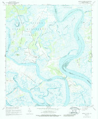
1960 Map of Bennetts Point
USGS Topo · Published 1987About this map
The Bear Island Game Management Area dominates this coastal landscape, where the Lowcountry's intricate network of tidal creeks and islands meets the sea. This 1960 survey captures a maritime environment defined by the confluence of the South Edisto River, Ashepoo River, and Coosaw River as they drain into St Helena Sound. The small fishing community at Bennetts Point serves as a primary hub, complete with the Bennetts Point Sch and nearby Samaritan Ch. Navigation is central to the area's geography, marked by the prominent route of the Intracostal Waterway and various cuts like Fenwick Cut and Watts Cut Light. Large landmasses such as Jehossee Island and Hutchinson Island are separated by labyrinthine waterways including Musselboro Creek and Alligator Creek, reflecting a traditional coastal economy of fishing, landings, and wildlife management before modern development.
Find a feature on this map
49 named features on this map. Tap any name to fly to it.
Don’t see what you’re looking for? This feature index may not catch every label — zoom into the map to look around manually.
Map Details
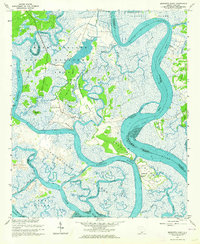
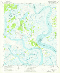
Editions of this 1960 Bennetts Point Map
3 editions found
Other maps of this area

1918 · Green Pond
USGS Topo · 1:62,500

1919 · Edisto Island
USGS Topo · 1:62,500

1920 · St. Helena Sound
USGS Topo · 1:62,500

1943 · Edisto Island
USGS Topo · 1:62,500

1943 · Green Pond
USGS Topo · 1:62,500

1944 · Fort Fremont
USGS Topo · 1:62,500

1947 · Savannah
USGS Topo · 1:250,000

1948 · St. Helena Sound
USGS Topo · 1:62,500

1948 · Savannah
USGS Topo · 1:250,000

1956 · Frogmore
USGS Topo · 1:24,000