
1956 Map of Bennington
USGS Topo · Published 1958About this map
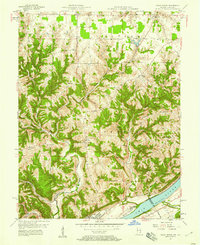
Bennington and the surrounding uplands of Switzerland County appear here during the mid-1950s, characterized by a series of long, narrow ridges carved by an intricate network of creeks. The landscape is defined by its topographic crests, including Shelby Ridge, Scott Ridge, and Greenbrier Ridge, which served as the primary corridors for early settlement and road development. Small rural centers like Moorefield and Pleasant are situated along these high points, often anchored by community landmarks such as Ebenezer Ch and Long Run Ch.
Find a feature on this map
30 named features on this map. Tap any name to fly to it.
Don’t see what you’re looking for? This feature index may not catch every label — zoom into the map to look around manually.
Map Details
Editions of this 1956 Bennington Map
This is the sole edition of this map. No revisions or reprints were ever made.
Other maps of this area

1943 · Vevay North
USGS Topo · 1:24,000

1943 · Brooksburg
USGS Topo · 1:24,000

1943 · Vevay South
USGS Topo · 1:24,000

1952 · Vevay South
USGS Topo · 1:24,000

1953 · Carrollton
USGS Topo · 1:24,000

1953 · Madison East
USGS Topo · 1:24,000

1956 · Canaan
USGS Topo · 1:24,000

1956 · Louisville
USGS Topo · 1:250,000
1957 · Vevay North
USGS Topo · 1:24,000
1959 · Rexville
USGS Topo · 1:24,000