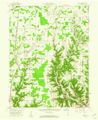
1959 Map of Rexville
USGS Topo · Published 1960About this map
Rexville and the surrounding township lands of Shelby and Brown appear here in the late 1950s, a landscape defined by the deep incisions of Indian Creek and Kentucky Creek. The western edge of the map is dominated by the U S Military Reservation Jefferson Proving Ground, which abruptly cuts through the regular grid of rural farm roads like Eye Road and H Road. This military boundary creates a stark transition from the active agricultural fields to the restricted government acreage.
Find a feature on this map
43 named features on this map. Tap any name to fly to it.
Don’t see what you’re looking for? This feature index may not catch every label — zoom into the map to look around manually.
Map Details
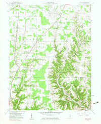
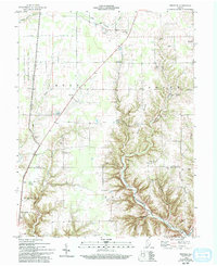
Editions of this 1959 Rexville Map
Other maps of this area

1946 · Versailles
USGS Topo · 1:24,000

1946 · Milan
USGS Topo · 1:24,000

1953 · Cincinnati
USGS Topo · 1:250,000

1956 · Clifty Falls
USGS Topo · 1:24,000

1956 · Bennington
USGS Topo · 1:24,000

1956 · Canaan
USGS Topo · 1:24,000

1956 · Louisville
USGS Topo · 1:250,000

1957 · Cincinnati
USGS Topo · 1:250,000

1959 · Holton
USGS Topo · 1:24,000

1959 · San Jacinto
USGS Topo · 1:24,000