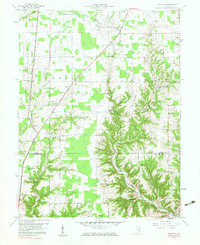
1959 Map of Rexville
USGS Topo · Published 1983About this map
Rexville and Benham center this 1959 survey of the rural landscape where Ripley Co meets Jefferson Co. The western portion of the quadrangle is dominated by the U S Military Reservation Jefferson Proving Ground, bounded by Perimeter Road. Outside the military boundary, the landscape reveals a dense network of family heritage, marked by an unusual concentration of small burial grounds such as the Daubenheyer Cem, Klotche Cem, and Overturf Cem.
Find a feature on this map
46 named features on this map. Tap any name to fly to it.
Don’t see what you’re looking for? This feature index may not catch every label — zoom into the map to look around manually.
Map Details
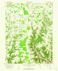
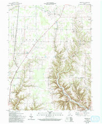
Editions of this 1959 Rexville Map
Other maps of this area

1946 · Versailles
USGS Topo · 1:24,000

1946 · Milan
USGS Topo · 1:24,000

1953 · Cincinnati
USGS Topo · 1:250,000

1956 · Clifty Falls
USGS Topo · 1:24,000

1956 · Bennington
USGS Topo · 1:24,000

1956 · Canaan
USGS Topo · 1:24,000

1956 · Louisville
USGS Topo · 1:250,000

1957 · Cincinnati
USGS Topo · 1:250,000

1959 · Holton
USGS Topo · 1:24,000

1959 · San Jacinto
USGS Topo · 1:24,000