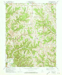
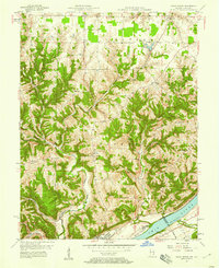
1971 Map of Bennington
USGS Topo · Published 1973About this map
Bennington and Pleasant serve as primary hubs for the agrarian community of northwestern Switzerland County during this early 1970s survey. The landscape is defined by its characteristic ridge-and-valley structure, where winding roads like Treaty Line Road and Ball Diamond Road trace the high ground of Scotts Ridge and Greenbrier Ridge. These narrow, elevated corridors connect numerous small spiritual and social centers, including Caledonia Ch, Macedonia Ch, and the Ebenezer Ch. Drainage patterns are complex, with waters flowing through systems like Brushy Fork and Indian Creek, highlighting the importance of topographical elevation for early road building and settlement placement. For the genealogist, the map identifies specific family-named burial grounds such as Slawson Cem and Zion Cem, providing precise locations for rural heritage research.
Find a feature on this map
53 named features on this map. Tap any name to fly to it.
Don’t see what you’re looking for? This feature index may not catch every label — zoom into the map to look around manually.
Map Details
Editions of this 1971 Bennington Map
4 editions found
Other maps of this area

1943 · Vevay North
USGS Topo · 1:24,000

1943 · Brooksburg
USGS Topo · 1:24,000

1943 · Vevay South
USGS Topo · 1:24,000

1952 · Vevay South
USGS Topo · 1:24,000

1953 · Carrollton
USGS Topo · 1:24,000

1953 · Madison East
USGS Topo · 1:24,000

1956 · Bennington
USGS Topo · 1:24,000

1956 · Canaan
USGS Topo · 1:24,000

1956 · Louisville
USGS Topo · 1:250,000
1957 · Vevay North
USGS Topo · 1:24,000