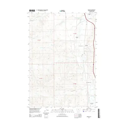
2014 Map of Benteen
USGS Topo · Published 2014About this map
Benteen and the surrounding Little Bighorn Valley define this portion of Big Horn County, where the landscape is marked by the passage of the Little Bighorn River. This 2014 survey documents a territory defined by its hydrologic network, with named tributaries like Shoulder Blade Cr, Bear-in-Middle Cr, and Mud Springs Cr cutting through the terrain. The agricultural and water management legacy of the region is evident in the presence of the Reno Canal and Lodge Grass Canal Number One, which trace the valley floor. Transportation is limited to functional routes such as Davis Creek Rd and Long Otter Rd, which provide access to the dispersed homesteads and grazing lands. The map serves as a contemporary record of the land divisions across T4S and T5S, capturing the enduring ranching character of this river valley.
Find a feature on this map
24 named features on this map. Tap any name to fly to it.
Don’t see what you’re looking for? This feature index may not catch every label — zoom into the map to look around manually.
Map Details
Editions of this 2014 Benteen Map
This is the sole edition of this map. No revisions or reprints were ever made.
Other maps of this area

1894 · Rosebud
USGS Topo · 1:125,000

1894 · St. Xavier
USGS Topo · 1:125,000

1894 · Fort Custer
USGS Topo · 1:125,000

1901 · Rosebud
USGS Topo · 1:125,000

1901 · St. Xavier
USGS Topo · 1:125,000

1954 · Hardin
USGS Topo · 1:250,000

1957 · Hardin
USGS Topo · 1:250,000

1958 · Hardin
USGS Topo · 1:250,000

1960 · Schick Ranch
USGS Topo · 1:24,000

1960 · St Xavier NE
USGS Topo · 1:24,000