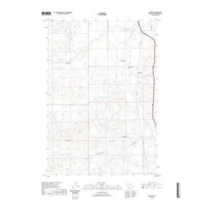
2020 Map of Benteen
USGS Topo · Published 2020About this map
The Little Bighorn Valley defines this portion of Big Horn County, where the Little Bighorn River meanders through a landscape marked by essential water management systems. The presence of the Reno Canal and Lodge Grass Canal Number One reflects the region's reliance on irrigation for agriculture and ranching. The small settlement of Benteen serves as a central point along the Frontage Rd, situated near the confluence of Long Otter Cr and the main river channel.
Find a feature on this map
23 named features on this map. Tap any name to fly to it.
Don’t see what you’re looking for? This feature index may not catch every label — zoom into the map to look around manually.
Map Details
Editions of this 2020 Benteen Map
This is the sole edition of this map. No revisions or reprints were ever made.
Other maps of this area

1894 · Rosebud
USGS Topo · 1:125,000

1894 · St. Xavier
USGS Topo · 1:125,000

1894 · Fort Custer
USGS Topo · 1:125,000

1901 · Rosebud
USGS Topo · 1:125,000

1901 · St. Xavier
USGS Topo · 1:125,000

1954 · Hardin
USGS Topo · 1:250,000

1957 · Hardin
USGS Topo · 1:250,000

1958 · Hardin
USGS Topo · 1:250,000

1960 · Schick Ranch
USGS Topo · 1:24,000

1960 · St Xavier NE
USGS Topo · 1:24,000