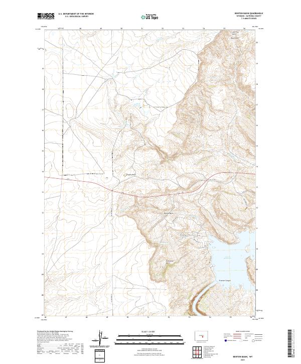
2021 Map of Benton Basin
USGS Topo · Published 2021About this map
Alcova Reservoir dominates the southeastern portion of this Natrona County landscape, where the waters are contained by the dramatic walls of Fremont Canyon. This reach of the North Platte River is defined by sharp elevation changes and deeply incised drainage systems. To the north and west, the terrain opens into a series of distinct geological depressions including Agate Basin, Benton Basin, and Horseshoe Basin.
Find a feature on this map
26 named features on this map. Tap any name to fly to it.
Don’t see what you’re looking for? This feature index may not catch every label — zoom into the map to look around manually.
Map Details
Editions of this 2021 Benton Basin Map
This is the sole edition of this map. No revisions or reprints were ever made.
Other maps of this area

1950 · Alcova
USGS Topo · 1:24,000

1951 · Clarkson Hill
USGS Topo · 1:24,000

1951 · Benton Basin SW
USGS Topo · 1:24,000

1951 · Benton Basin
USGS Topo · 1:24,000

1951 · Pathfinder Reservoir NW
USGS Topo · 1:24,000

1951 · Benton Basin NE
USGS Topo · 1:24,000

1951 · Mc Cleary Reservoir
USGS Topo · 1:24,000

1951 · Bear Spring
USGS Topo · 1:24,000

1951 · Pathfinder Dam
USGS Topo · 1:24,000

1955 · Casper
USGS Topo · 1:250,000