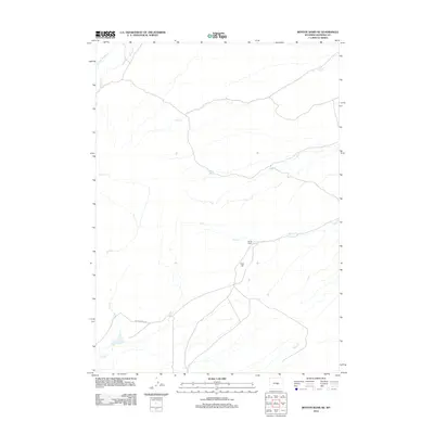
2012 Map of Benton Basin NE
USGS Topo · Published 2012About this map
Oregon Trail Rd cuts across the arid landscape of Natrona County, following the historic corridor that once carried thousands of emigrants westward. This high-plains terrain is defined by a dendritic network of ephemeral drainages, including Iron Cr and Willow Cr, which converge across the basin floor. The human footprint remains sparse, centered on the Young Ranch and the nearby Willow Spring, reflecting the enduring ranching economy of this portion of Wyoming. Topographical landmarks such as Ryan Hill provide vertical relief in an area otherwise dominated by wide creek bottoms like Fish Cr and Shell Cr. The map captures the intersection of modern road infrastructure with the preserved path of one of the nation's most significant historical migration routes.
Find a feature on this map
11 named features on this map. Tap any name to fly to it.
Don’t see what you’re looking for? This feature index may not catch every label — zoom into the map to look around manually.
Map Details
Editions of this 2012 Benton Basin NE Map
This is the sole edition of this map. No revisions or reprints were ever made.
Other maps of this area

1950 · Alcova
USGS Topo · 1:24,000

1951 · Pine Mountain SW
USGS Topo · 1:24,000

1951 · Oil Mountain
USGS Topo · 1:24,000

1951 · Clarkson Hill
USGS Topo · 1:24,000

1951 · Benton Basin SW
USGS Topo · 1:24,000

1951 · Benton Basin
USGS Topo · 1:24,000

1951 · Poison Spider
USGS Topo · 1:24,000

1951 · Benton Basin NE
USGS Topo · 1:24,000

1951 · Mc Cleary Reservoir
USGS Topo · 1:24,000

1955 · Casper
USGS Topo · 1:250,000