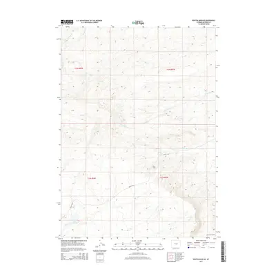
2015 Map of Benton Basin NE
USGS Topo · Published 2015About this map
The historical Oregon Trail cuts through this portion of Natrona County, tracing a diagonal path across the high plains. This 2015 survey illustrates the preserved route of the pioneer trail as it passes south of Ryan Hill and nears the water source at Willow Spring. The landscape is defined by a dense network of intermittent drainages, including Poison Spring Cr and Iron Cr, which carved the rugged breaks and gulches characteristic of this region.
Find a feature on this map
17 named features on this map. Tap any name to fly to it.
Don’t see what you’re looking for? This feature index may not catch every label — zoom into the map to look around manually.
Map Details
Editions of this 2015 Benton Basin NE Map
This is the sole edition of this map. No revisions or reprints were ever made.
Other maps of this area

1950 · Alcova
USGS Topo · 1:24,000

1951 · Pine Mountain SW
USGS Topo · 1:24,000

1951 · Oil Mountain
USGS Topo · 1:24,000

1951 · Clarkson Hill
USGS Topo · 1:24,000

1951 · Benton Basin SW
USGS Topo · 1:24,000

1951 · Benton Basin
USGS Topo · 1:24,000

1951 · Poison Spider
USGS Topo · 1:24,000

1951 · Benton Basin NE
USGS Topo · 1:24,000

1951 · Mc Cleary Reservoir
USGS Topo · 1:24,000

1955 · Casper
USGS Topo · 1:250,000