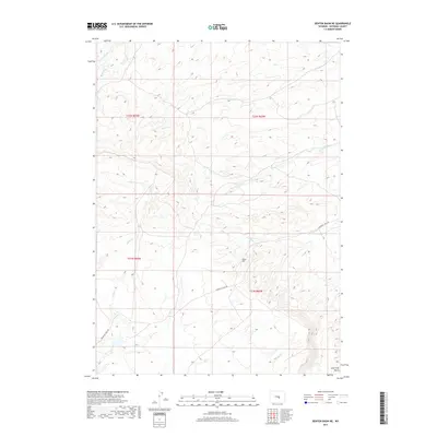
2017 Map of Benton Basin NE
USGS Topo · Published 2017About this map
Emigrant Trail Rd cuts through this high-altitude drainage basin in Natrona County, following a historic corridor that once carried thousands of travelers westward. The landscape is defined by its complex network of seasonal drainages, including Poison Spring Cr, Willow Cr, and Shell Cr, which flow through the varied terrain surrounding Ryan Hill. Unlike many regions defined by permanent settlements, this area remains characterized by its water sources and geographic landmarks like Willow Spring. The map documents the persistent layout of the Public Land Survey System, showing the township and range lines of t31n r83w and surrounding sections. For historians and researchers, the preservation of the trail route and its relationship to natural features like Lone Tree Gulch offers a clear view of the geographic constraints that shaped westward movement across Wyoming.
Find a feature on this map
16 named features on this map. Tap any name to fly to it.
Don’t see what you’re looking for? This feature index may not catch every label — zoom into the map to look around manually.
Map Details
Editions of this 2017 Benton Basin NE Map
This is the sole edition of this map. No revisions or reprints were ever made.
Other maps of this area

1950 · Alcova
USGS Topo · 1:24,000

1951 · Pine Mountain SW
USGS Topo · 1:24,000

1951 · Oil Mountain
USGS Topo · 1:24,000

1951 · Clarkson Hill
USGS Topo · 1:24,000

1951 · Benton Basin SW
USGS Topo · 1:24,000

1951 · Benton Basin
USGS Topo · 1:24,000

1951 · Poison Spider
USGS Topo · 1:24,000

1951 · Benton Basin NE
USGS Topo · 1:24,000

1951 · Mc Cleary Reservoir
USGS Topo · 1:24,000

1955 · Casper
USGS Topo · 1:250,000